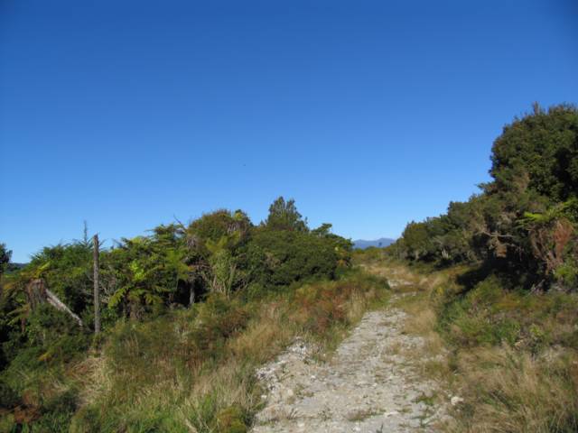
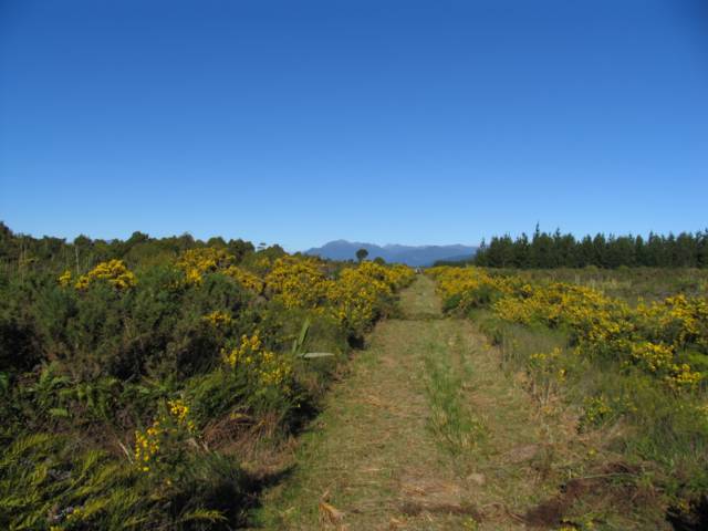
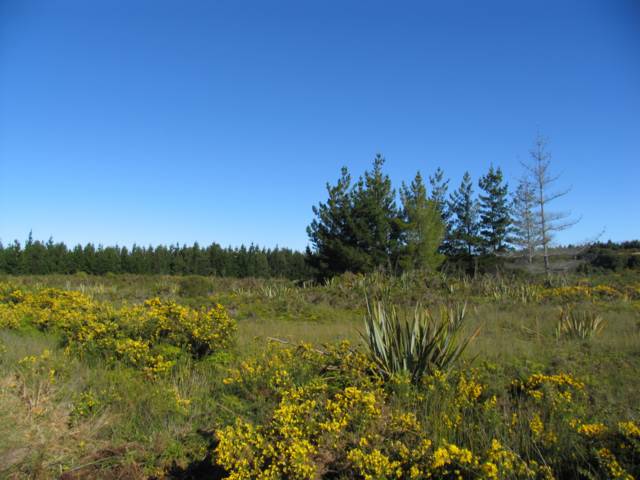
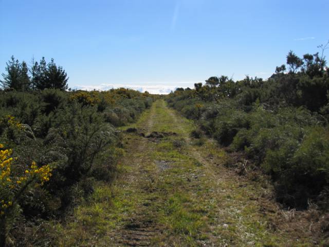
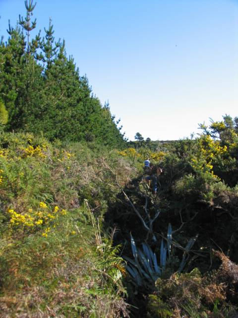
Well... this is it! We and Peter and Helen have bought this piece of land. Peter and Helen will take the half that is in the foreground, and we will take the half that goes from just behind the small clump of pine trees to the long line of them at the back. There is more of the section to the left of the photo, and it carries on through some native bush to the creek on the northern boundary. The eastern boundary is the line of pine trees you can see in the distance, the southern boundary is apparently several fence posts hidden in the bush, and the northern boundary is yet to be surveyed and fenced. At the bottom left of the photo you can see a piece of road. Further to the left of this road is some bush, then a road that runs along the creek, and then some native bush that hides the creek.